The maps lit up in violet and deep blue long before anything changed outside people’s windows. Up in the stratosphere, far above commercial air traffic, something rare was unfolding — and weather forecasters across Europe and North America noticed it almost at once. December, which usually behaves like winter’s warm-up act, suddenly looked like the heart of February.
The polar vortex, that vast ring of frigid air encircling the Arctic, was wobbling. Not gently. Violently enough to make seasoned meteorologists pause, refresh their models, and check them again.
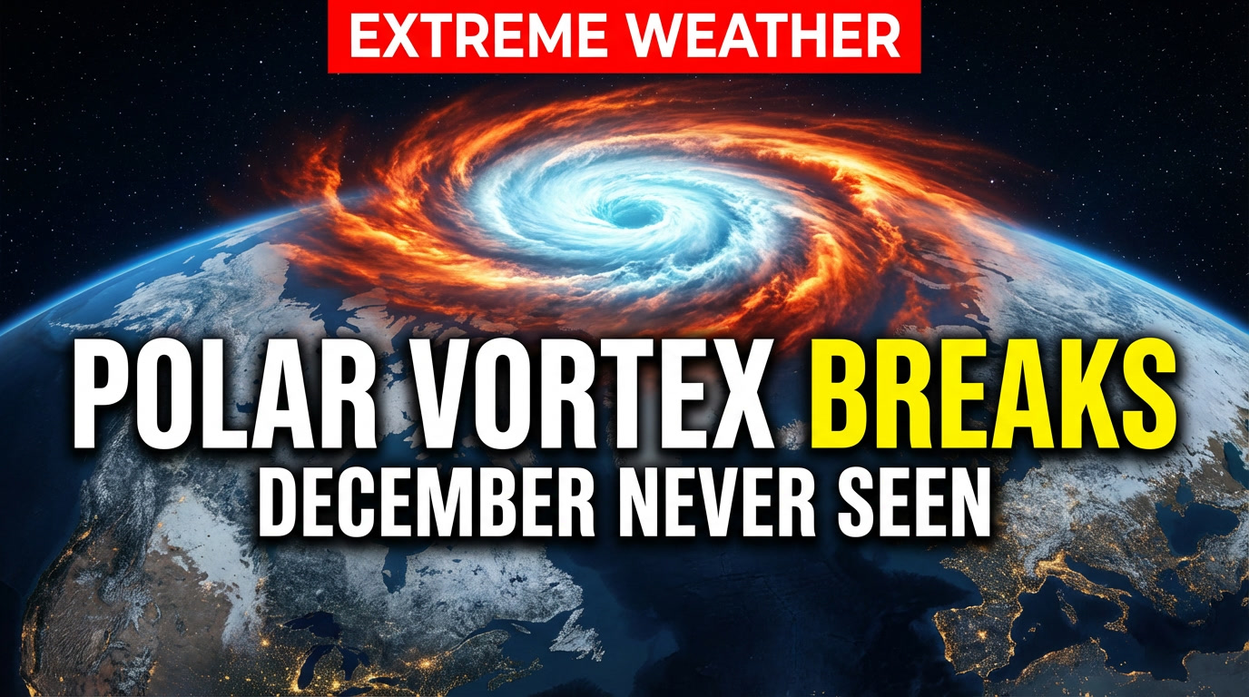
A December disruption that almost never happens

At roughly 30 kilometers above the Arctic, temperatures are supposed to stay brutally cold in December. This year, they didn’t. Forecast models began showing a sudden stratospheric warming event — a rapid spike of 40 to 50°C at altitude — slamming into the polar vortex weeks earlier than usual.
Sudden stratospheric warmings are rare to begin with. Seeing one this strong before the calendar even flips to January is what has experts calling it “almost unheard of.” Typically, these disruptions occur in mid or late winter, when the atmosphere is already primed for upheaval.
Instead, the vortex is being stretched, weakened, and in some simulations, split into separate cold cores. One lobe leans toward North America, another toward Eurasia — a configuration that historically raises the odds of prolonged cold outbreaks farther south.

This isn’t a forecast of snow on a specific date. It’s a signal. And it’s a loud one.
Why a wobbling polar vortex matters down here
When the polar vortex is strong, it acts like a lock on the Arctic freezer. Cold air stays bottled near the pole, and the jet stream flows relatively smoothly west to east. When that lock weakens, pieces of Arctic air can sag southward in massive waves.
Past winters offer uncomfortable reminders. In 2010, 2013, and 2018, major vortex disruptions preceded long-lasting cold spells across Europe and North America. The 2018 “Beast from the East” froze parts of Europe well into early spring. Snow buried cities that were already seeing early flowers.

Not every disruption leads to a historic freeze. But statistically, the odds of blocking patterns — stubborn high-pressure systems that stall weather — jump significantly afterward. Those blocks can trap cold air in place for weeks.
The atmosphere doesn’t send calendars or street addresses. It sends probabilities.
The timing makes forecasters uneasy
What adds to the intrigue is the backdrop. We’re heading into the peak of an El Niño season, global ocean heat content remains historically high, and yet the stratosphere over the Arctic is behaving as if someone flipped a switch.
A warmer planet doesn’t cancel winter. In fact, it can make circulation patterns more erratic. The clash between excess heat in the oceans and sudden disruptions aloft creates a messy, hard-to-read atmosphere.
That’s why independent forecast centers on both sides of the Atlantic have started using the same language: “high-impact potential.” Not certainty. Potential.
As one European forecaster put it privately, “You don’t ignore a signal like this. You respect it.”
What could happen next — and what might not
If the vortex fully weakens or splits, the most likely outcomes include:
• Increased chances of prolonged cold spells
• Greater risk of snow events in mid-latitudes
• Sharper temperature contrasts across continents
• A more erratic jet stream
What it does not guarantee is a single monster storm everywhere at once. Weather remains local. One region may see slush and rain while another locks into deep freeze.
Dr. Laura McBride, a climatologist who studies stratosphere-troposphere interactions, summed it up bluntly: “A December stratospheric warming tilts the dice. It doesn’t write the script for your town.”
The quiet advantage: time
One overlooked benefit of stratospheric signals is lead time. These disruptions often show up one to three weeks before surface impacts become clear. That window is gold.
It’s the difference between panic-buying during a snowstorm and calmly preparing on an ordinary weekday.
Practical steps don’t have to feel dramatic:
• Check heating systems and fuel supplies
• Make sure antifreeze and car batteries are winter-ready
• Refresh basic winter car kits
• Plan for school or commute disruptions
• Confirm remote-work options if transport falters
For families, it can be as simple as agreeing on pickup plans or testing home internet ahead of time. For small businesses, a quick conversation with suppliers about flexibility can save days of chaos later.
Preparation isn’t fear. It’s choreography.
Managing the mental weather, too
When phrases like “polar vortex collapse” hit headlines, anxiety spreads faster than cold air. One useful defense is curating information sources. Follow a national weather service, one or two trusted meteorologists, and maybe a local forecaster who understands your region’s quirks.
Ignore the rest.
Another strategy is rhythm. Check forecasts every few days, not every few hours. Focus on the reliable 7–10 day window. The big pattern evolves slowly; your decisions can too.
Small habits help: clearing gutters before freeze-thaw cycles, moving fragile plants, charging backup batteries. None scream crisis. All quietly reduce stress.
A winter asking different questions
Whether this December disruption becomes a footnote or a bold chapter in weather history is still unknown. That uncertainty is part of the story.
A warming planet hosting an unusually strong early-season polar vortex disruption isn’t a contradiction. It’s the climate we live in now — one where extremes coexist and interact.
When people trade stories of past winters, they’re not just remembering snow totals. They remember who had heat, who shared shovels, which workplaces showed flexibility. Hidden inside the charts is a human question: how do we move through disruption together?
The sky above us is restless. Awareness, not alarm, is the right response.
Winter hasn’t made its move yet. But the atmosphere is clearly loading the dice.
Key Takeaways
| Key Point | What’s Happening | Why It Matters |
|---|---|---|
| Exceptionally early disruption | Stratospheric temperatures near the pole are spiking by 40–50°C | Explains why forecasters see this as rare and high-impact |
| Higher risk of prolonged cold | A weakened vortex can send Arctic air south for weeks | Signals potential for extended winter conditions |
| 1–3 week prep window | Atmospheric signals arrive well before surface impacts | Gives time for calm, practical preparation |